Positioning
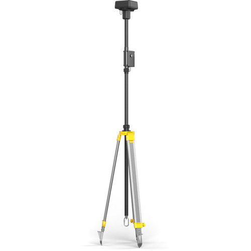
DJI Agras RTK Handheld Mapper
Handheld RTK mapping device for walking field boundaries and marking waypoints.
Inquire for Pricing
Key Features
- Centimeter-level RTK accuracy
- Walk field boundaries
- Mark obstacles and waypoints
- Syncs to DJI Smart Farm
Warranty Support
Local Service
Technical
SPECIFICATIONS
AccuracyCentimeter-level RTK
TypeHandheld mapper
IntegrationDJI Smart Farm
Overview
The DJI Agras RTK Handheld Mapper allows you to walk field boundaries, mark obstacles, and create waypoints with centimeter-level RTK precision. Data syncs directly to DJI Smart Farm for automated flight planning.