What We Fly
THE SERVICE MATRIX
Nine precision drone services for Cochise County agriculture, ranching, solar, and aerial documentation operations. Every service is quote-based — no price lists, no packages, just the right solution for your operation.
Willcox AVA · Sonoita / Elgin AVA
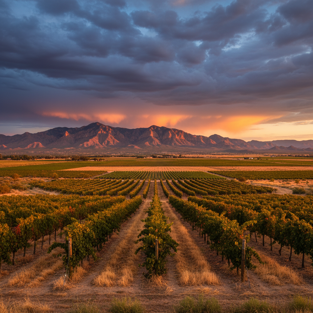
Vineyard Fungicide Spraying
Targeted fungicide application for Arizona wine-grape vineyards. The primary threat during monsoon season (July–September) is powdery mildew, which thrives in the warm, humid conditions the summer storms create. Drone application delivers precise, low-drift coverage deep into the canopy — without the soil compaction or access issues of ground rigs. When humidity spikes, there is a narrow window to protect the crop. Timing is everything. Falken watches those conditions so vineyard owners don't have to.
Cochise County produces 74–85% of Arizona's wine grapes. The Willcox AVA sits at ~4,200 ft elevation beneath the Dos Cabezas Mountains — 20+ commercial vineyards, premium award-winning wines, not commodity crops. Vineyard owners care deeply about precision, timing, and drift control.
- Precise canopy penetration — reaches angles ground rigs cannot
- Low-drift, GPS-locked flight paths per row
- Monsoon mildew window monitoring via the Spray Tracker
- Minimal soil compaction — drone stays airborne
- Available for fungicide, insecticide, and foliar nutrition passes
How AI Makes This Better
We fly your vineyard with a multispectral camera before a single drop of fungicide is applied. AI analysis identifies stress zones and mildew pressure in the spectral data — days before visible symptoms appear on the leaf. Your spray prescription targets only the blocks that need treatment, at the rate each block actually requires. Studies show operators using AI-assisted prescription spraying save 20–35% on fungicide inputs versus uniform broadcast application.
Detection accuracy reference: MDPI Drones journal, 2024. Input savings reference: industry variable-rate application studies.
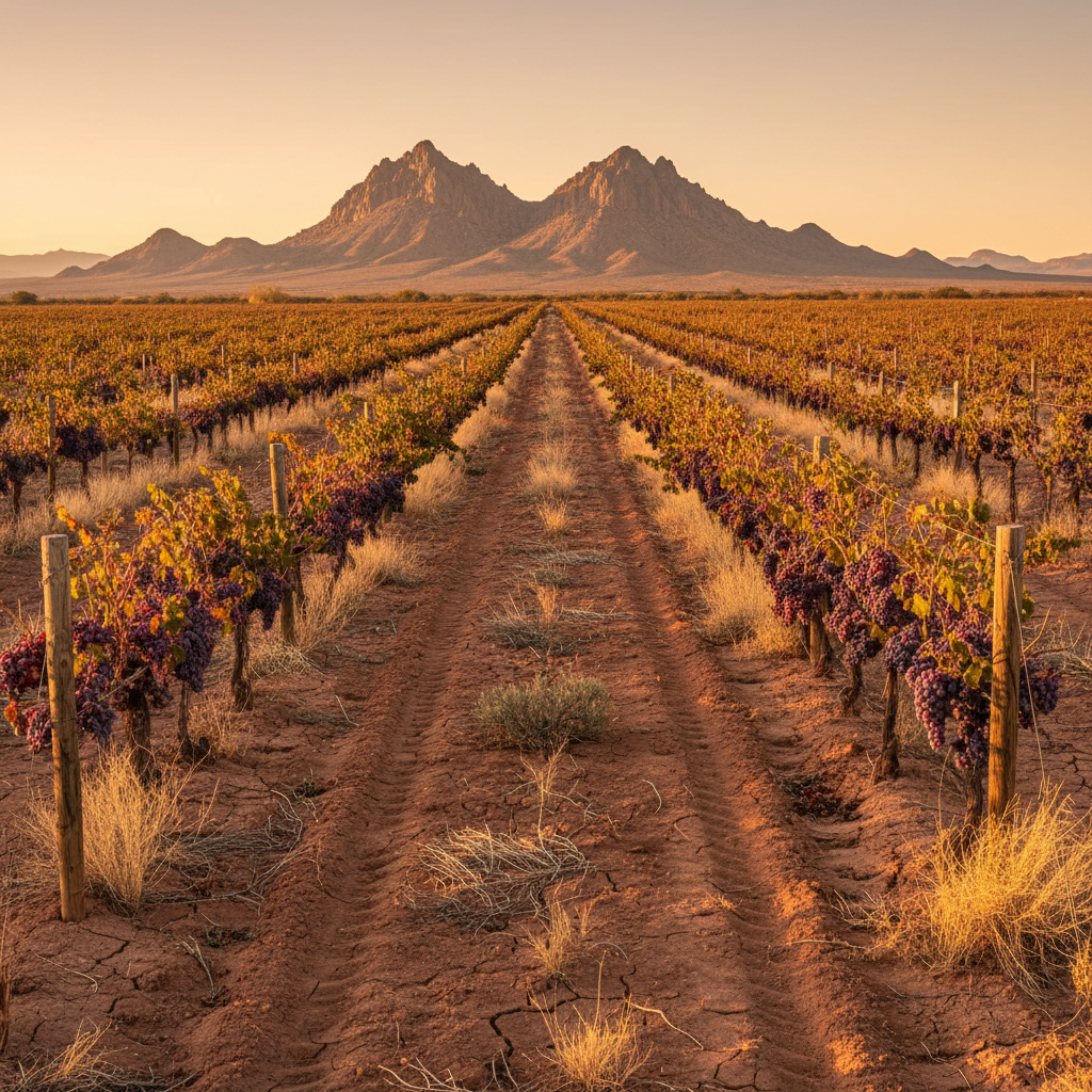
Willcox AVA — 4,200 ft elevation, Dos Cabezas Mountains
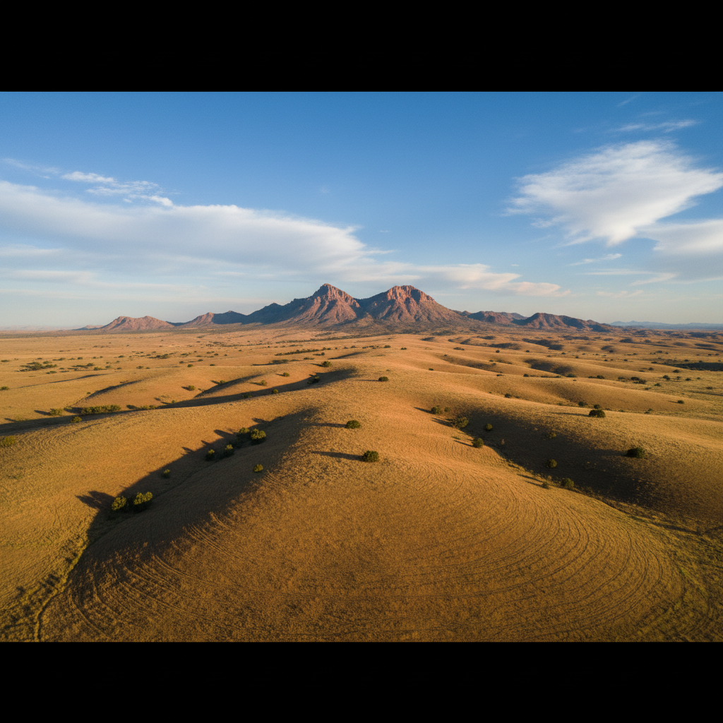
Sonoita / Elgin AVA — high desert elevation vineyard terrain
Sulphur Springs Valley · San Pedro · Chiricahua Foothills
Rangeland Brush & Weed Control
Drone foliar herbicide application on dense mesquite regrowth, prickly pear, and invasive brush that degrades grazing land and robs forage from livestock. Drone application avoids the soil compaction of heavy ground equipment and the overspray and drift of manned aircraft. Best suited for dense broadcast foliar treatment on young regrowth and thick infestations.
Reclaim grazing acres and restore forage productivity across the Sulphur Springs Valley, San Pedro River corridor, and Chiricahua foothills.
- Mesquite regrowth, prickly pear, and invasive brush
- No soil compaction from heavy ground equipment
- Tighter spray control than manned aerial application
- Pairs with native grass reseeding for full restoration
- NRCD member — understands Cochise County rangeland ecology
How AI Makes This Better
Before we quote any brush control job, we map it. A multispectral flight generates an AI-analyzed density map showing exactly where mesquite and invasive brush is thick enough to justify drone foliar treatment and where it isn't. You only pay to spray the problem zones — not the whole pasture. You also receive a before-and-after documented record of every treated acre.
UAV mesquite density mapping reference: Rangeland Ecology & Management journal, peer-reviewed.
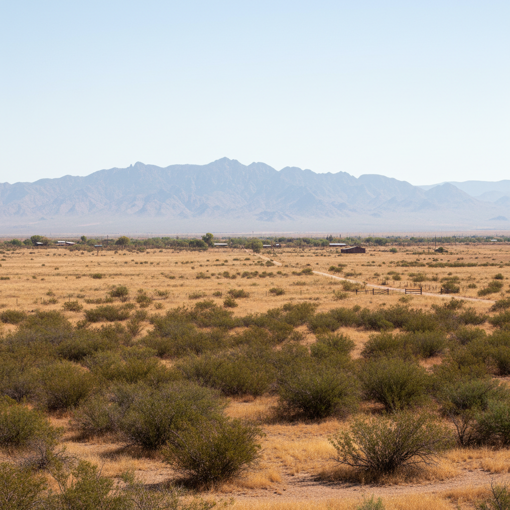
Cochise County rangeland — Sulphur Springs Valley
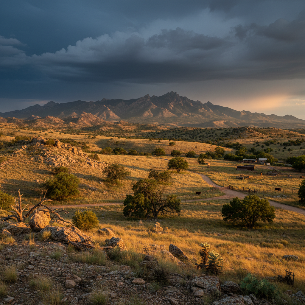
Chiricahua foothills — target territory for brush control
Willcox Area · Cochise County Orchards
Tree Nut Spraying — Pecans & Pistachios
Fungicide, insecticide, and nutrient passes over mature pecan and pistachio canopies. Cochise County is a significant tree-nut producing region. Tall, dense canopies are difficult for ground equipment to penetrate adequately. Drone spraying delivers product directly into the canopy from above with uniform, even coverage — reaching angles ground rigs never can.
- Top-down canopy penetration ground rigs cannot match
- Uniform coverage across mature, tall canopy heights
- Fungicide, insecticide, and foliar nutrition programs
- Reduced product waste — precise application, minimal drift
- No equipment damage to orchard floor infrastructure
How AI Makes This Better
Mature pecan and pistachio canopies hide disease and nutrient stress in the upper layers where ground-level scouting can't reach. A pre-spray multispectral scan identifies stressed zones across the canopy from above — so your fungicide and nutrient passes are targeted to where the tree actually needs them. Delivered with a spray record showing what was applied, where, and at what rate.
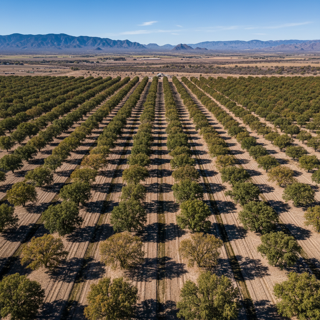
Nadir view — pecan canopy grid, Cochise County
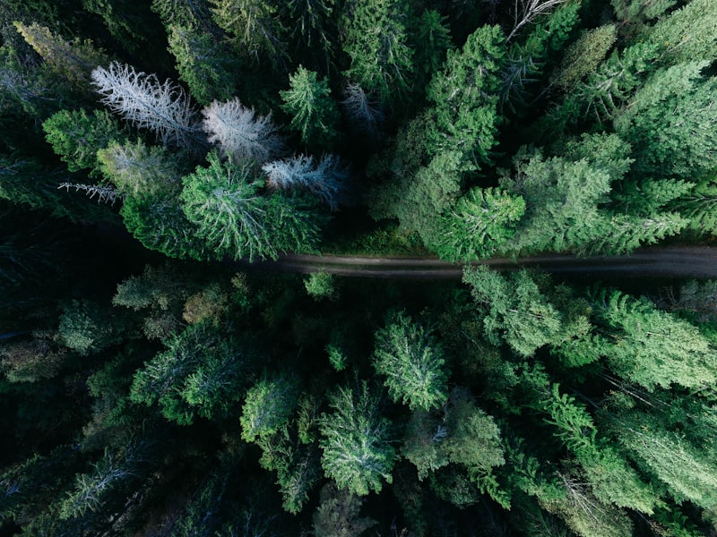
Spray drone over mature tree canopy
Post-Brush Treatment Restoration · Rangeland Seeding
Dry Spreading & Rangeland Reseeding
The Talos T60X carries a dry-spreader hopper in addition to its liquid spray tank. Applications include granular fertilizer broadcast, cover-crop seeding, and native-grass rangeland reseeding — particularly after brush-control treatments.
Restoring forage grasses after mesquite eradication is the natural follow-on: kill the stand, then reseed the bare ground. Drone spreading reaches terrain and recently treated areas where ground equipment would cause damage or simply can't go.
- Granular fertilizer broadcast over large areas
- Native grass seeding after brush treatment
- Cover-crop deployment in inaccessible terrain
- GPS-guided spread patterns for uniform coverage
- Avoids damage to recently treated or soft ground
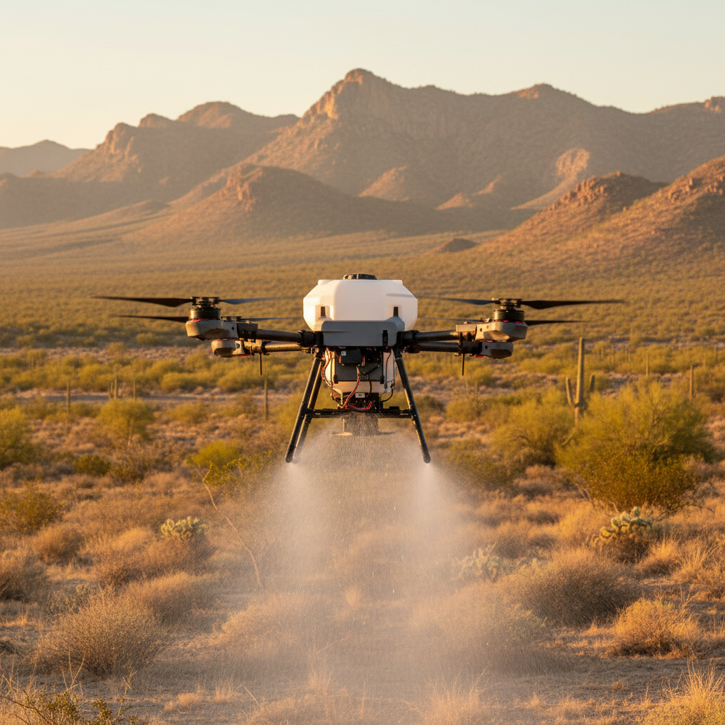
T60X dry-spreader hopper configuration
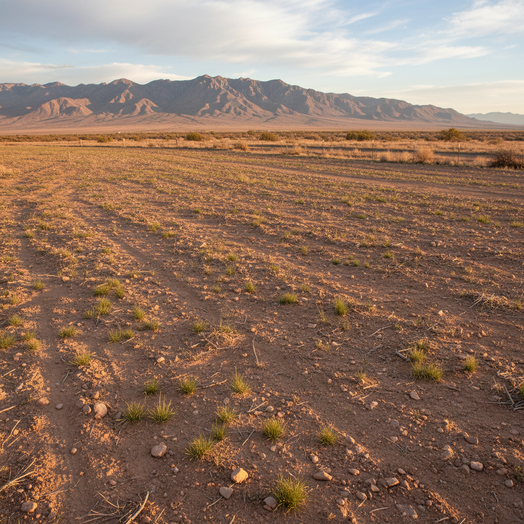
Blue grama grass restoration, Sulphur Springs Valley
Mavic 3M · NDVI Maps · Field Scouting
Multispectral Crop Health Imaging
NDVI and crop-health mapping with the Mavic 3M multispectral drone. Produces actionable field maps showing stress zones, disease pressure, irrigation irregularities, and nutrient deficiencies — at the resolution of individual plant rows. Identify problem areas before symptoms are visible to the naked eye. Delivered as georeferenced maps the grower can act on immediately.
- NDVI stress mapping — individual row resolution
- Irrigation irregularities detected before crop loss
- Disease pressure zoning for targeted spray applications
- Nutrient deficiency mapping for variable-rate fertilization
- Georeferenced deliverables compatible with major farm platforms
This Is the AI Engine
Your NDVI maps aren't just images — they're the output of machine-learning algorithms analyzing spectral data across six wavelengths invisible to the human eye. The AI identifies crop stress, disease pressure, irrigation irregularities, and nutrient deficiencies at the resolution of individual plant rows — and flags them on a georeferenced map you can act on immediately. One scan flight can save a season.
Multispectral AI detection reference: MDPI Drones 2024 peer-reviewed study — 96% accuracy detecting grapevine disease before visible symptoms.
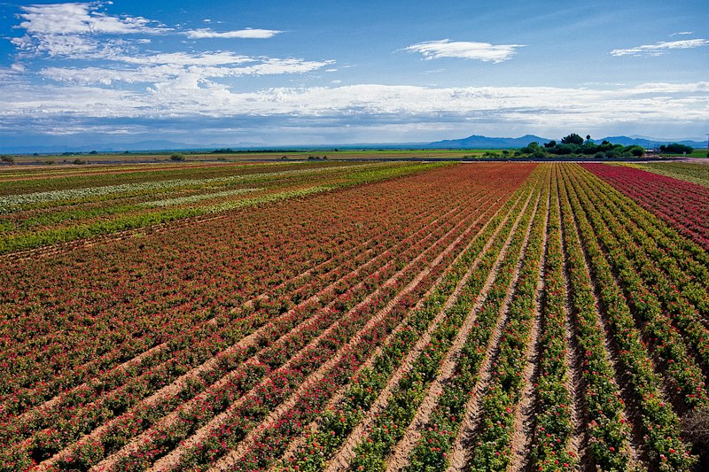
Aerial nadir — field stress variation visible from above
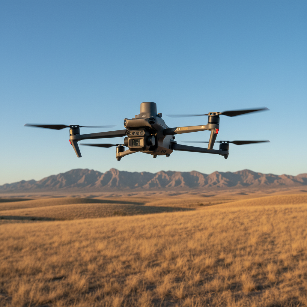
Mavic 3M multispectral platform
Matrice 4T · Irrigation · Livestock · Infrastructure
Thermal Imaging & Field Surveys
The Matrice 4T thermal drone for irrigation leak detection, water ponding, equipment heat signatures, livestock location, and field-level surveys. Particularly valuable for the large ranches and irrigated operations in Cochise County where water management is critical under Active Management Area groundwater regulations. See what the naked eye can't.
- Irrigation leak and ponding detection across large fields
- Livestock location and health screening
- Equipment and electrical heat signature surveys
- AMA groundwater compliance support
- Night operations available for heat-signature mapping
How AI Makes This Better
Thermal data combined with AI image analysis goes beyond a standard survey. Locate cattle dispersed across thousands of acres in minutes. Identify animals running hot — a fever or injury flag. Detect irrigation leaks from soil temperature differentials around broken lines. Flag solar panel hotspots before they become hardware failures. The thermal camera sees it — the AI tells you what it means.
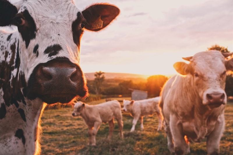
Cattle on Cochise County rangeland — thermal locates these at night
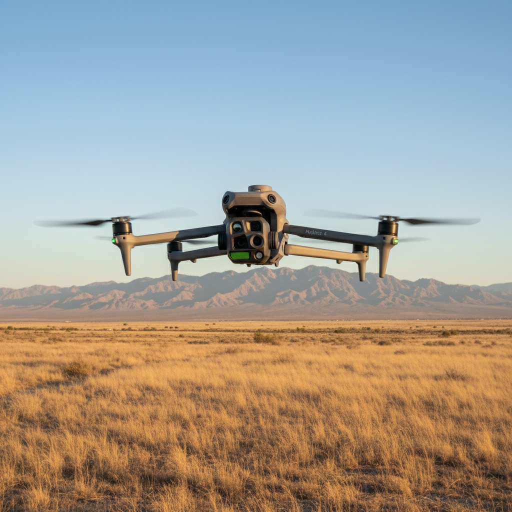
Matrice 4T thermal platform
Residential · Commercial · Utility Scale
Solar Panel Cleaning
Arizona's desert environment is one of the harshest on solar panels anywhere in the country. Dust storms, monsoon debris, pollen, bird droppings, and persistent blowing grit accumulate on panel surfaces and kill output — dirty panels can lose up to 25% efficiency. Southeastern Arizona's high-desert winds and post-monsoon debris season make this a year-round issue for residential, commercial, and utility-scale arrays alike.
- No roof access required — pilot stays on the ground
- Pure or deionized water — no harsh chemicals, no abrasives
- Faster than ground crews on large arrays
- Access to uneven terrain and steep rooftops
- GPS-locked flight paths for even coverage
- Recommended: twice per year minimum + after major dust events
Inspect Before You Clean
We fly an AI soiling inspection pass before we clean anything. The analysis identifies critically soiled panel sections — bird dropping hotspots, heavy dust accumulation zones, and thermal anomalies that may indicate cell damage — and produces a severity map of your array. You know exactly what's costing you output before a drop of water is used. Post-clean documentation confirms the result. Studies show AI-driven solar maintenance delivers 25–40% efficiency improvements versus reactive cleaning schedules.
Solar AI inspection reference: MDPI Sensors journal, January 2025. Efficiency improvement reference: Energy Informatics systematic review, 2025.
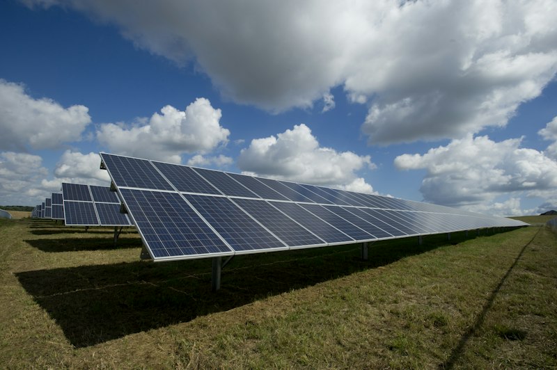
Dust accumulation — up to 25% output loss in Arizona desert
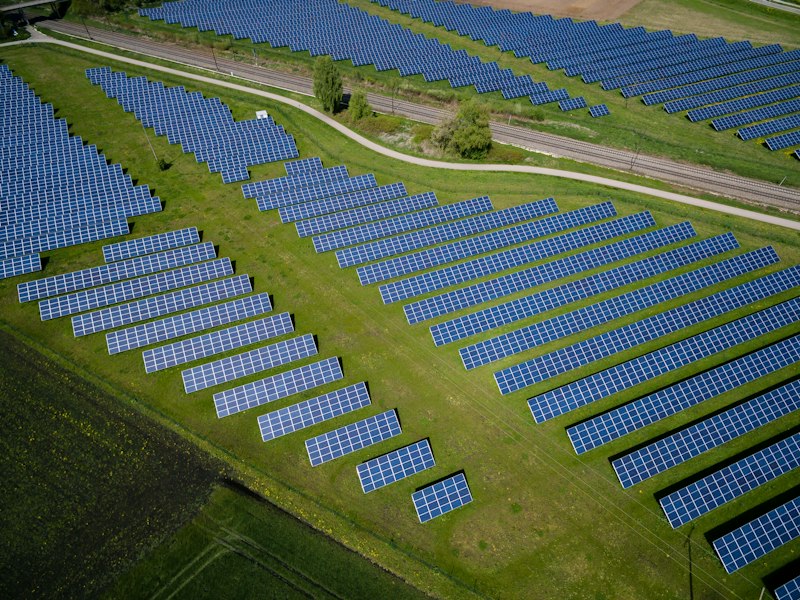
Post-cleaning — Arizona desert solar array, output restored
Real Estate · Ranch · Construction · Commercial
Aerial Photography, Site Mapping & Documentation
From sweeping ranch property listings to precision orthomosaic maps for land management, Falken Drone Services brings FAA Part 107 licensed aerial capabilities to real estate, commercial, construction, and infrastructure clients across Cochise County and SE Arizona. The same operator and equipment trusted by vineyards and ranchers — now delivering professional imagery and data for your property or project.
Ranch & Real Estate Aerial Photography
Cochise County ranch properties, residential listings, and commercial real estate deserve imagery that matches the scale of the land. Ground-level photos don't capture a 500-acre ranch, a historic Tombstone commercial block, or a working orchard the way aerial does. Professional aerial photography gives listing agents, sellers, and developers a competitive edge — and in a market where SE Arizona ranch properties routinely list at $500K to $5M+, the investment in quality aerial imagery pays for itself on the first showing.
- High-resolution still photography from multiple altitudes and angles
- Golden-hour sessions for maximum visual impact
- Exterior building and structure documentation
- Boundary and property perimeter overviews
- Edited, print and web-ready final image set
- Fast turnaround — typically delivered within 48 hours of flight
Best for: Ranch property listings · Residential real estate · Commercial buildings · Historic properties · Tourism and hospitality venues · Airbnb and short-term rental properties
Contact us for a project quote.
Orthomosaic Mapping & 3D Site Surveys
A single aerial photo shows you what a property looks like. An orthomosaic map shows you what it IS — accurate, georeferenced, measurable, and actionable. Using precision GPS flight planning, Falken produces stitched orthomosaic maps and 3D digital surface models that give landowners, developers, engineers, and land managers a true-to-scale overhead view of their property.
- Full-property orthomosaic maps (georeferenced, scaled, measurable)
- 3D digital surface models for terrain and elevation analysis
- Acreage calculation and boundary documentation
- Before/during/after progress maps for construction and land projects
- Delivered in formats compatible with GIS software, Google Earth, and land management platforms
- Resolution sufficient for fence lines, structures, water features, terrain breaks
Best for: Ranch and land due diligence · Construction site progress documentation · Land management and conservation planning · Pre-purchase property surveys · Irrigation and drainage planning · NRCD and land trust documentation
Need crop health data alongside your site map? See Multispectral Imaging →Contact us for a project quote.
Construction & Infrastructure Progress Documentation
Keep stakeholders, owners, and project managers current with regular aerial progress documentation. Scheduled flight visits produce consistent overhead imagery at defined project milestones — from ground break to completion. Drone documentation catches site issues early, supports insurance and permitting requirements, and gives remote stakeholders a clear, current view of the project without a site visit.
- Scheduled recurring flights at project milestones or set intervals
- Consistent flight path and altitude for true apples-to-apples comparison
- Orthomosaic map per visit for measurable progress tracking
- High-resolution stills for project records, stakeholder reports, and marketing
- Volume and stockpile measurement for earthwork and grading projects
Best for: Commercial construction · Residential subdivision development · Road and infrastructure projects · Solar installation documentation · Agricultural facility construction · Mining and earthworks
Contact us for a project quote.
Commercial & Tourism Aerial Video
Cinematic aerial video for businesses, venues, tourism operators, and commercial properties across SE Arizona. Smooth, stabilized footage from above captures the scale and setting of your operation in a way nothing else can. Whether it's a Tombstone attraction, a wine country venue, a ranch stay, or a commercial property, aerial video turns a listing or marketing piece into an experience.
- 4K stabilized aerial video footage
- Edited highlight reel optimized for web, social media, and marketing use
- Multiple flight passes for varied angles and altitude shots
- Color-graded final edit matching your brand aesthetic
- Raw footage available on request
Best for: Tourism venues and attractions · Wineries and tasting rooms · Ranch stays and event venues · Commercial real estate marketing · Business profile and brand video · Social media content for hospitality and tourism operators
FPV cinematic fly-through video for interior spaces and tight architectural work is available on a project basis — contact us to discuss scope.
Contact us for a project quote.
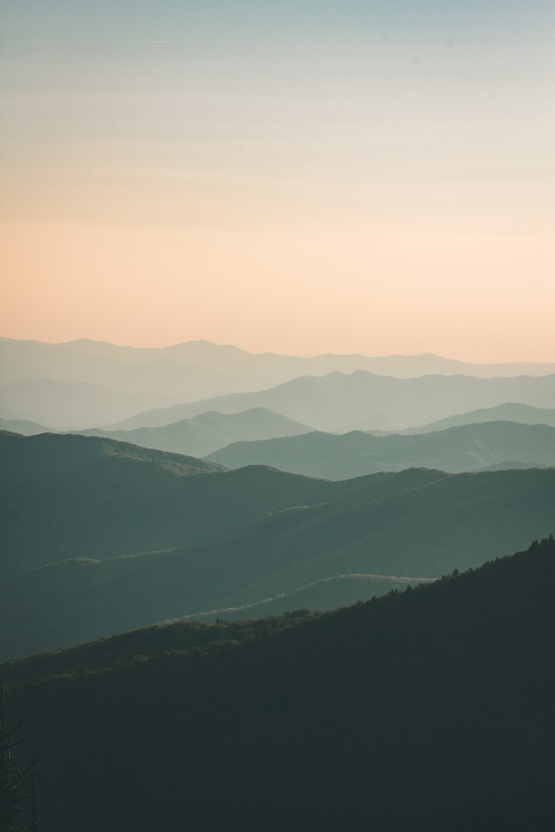
Cochise County ranch land — aerial scale no ground photo can match

Orthomosaic mapping — georeferenced, scaled, measurable
Weed Control · Fire Hazard Prevention · Pre & Post-Emergent
Solar Vegetation Management
Weed and brush control around solar array infrastructure. Overgrown vegetation blocks sunlight, reducing output. Dry material accumulating under panels becomes a fire hazard — especially in SE Arizona's dry season. Invasive growth damages fencing, infrastructure, and access roads.
Drone herbicide application is faster and more precise than ground crews working in tight spaces between panel rows. Pre-emergent and post-emergent programs available. Pairs with panel cleaning as a complete solar site maintenance package.
- Pre-emergent and post-emergent herbicide programs
- Precise delivery between tight panel row spacing
- Fire hazard reduction — critical in SE Arizona dry season
- Faster than manual ground crews on large arrays
- Pairs with solar panel cleaning as a complete maintenance package
How AI Makes This Better
Before we apply any herbicide to your solar site, we map it. AI analysis of the aerial survey identifies which zones have active weed pressure, which are clear, and which sections face the highest fire-risk from dry material accumulation. Treatment is targeted to problem areas only — not a blanket application across the whole array. You get a documented vegetation management record for your O&M file.
Vegetation encroachment — fire hazard, SE Arizona dry season
Precision herbicide application between panel rows
READY TO PROTECT YOUR OPERATION?
All services are quote-based. Tell us your acreage, your crop, and your challenge — we'll get back to you within one business day.
Initiate Quote Request