
WE DON'T JUST FLYOVER YOUR LAND.WE READ IT.
AI-assisted multispectral analysis, prescription mapping, and precision treatment — from the only FAA Part 137 licensed drone operator in Cochise County running this workflow.
Request an AI Scouting FlightWhat It Is
SMARTER THAN A CAMERA.
FASTER THAN A SCOUT.
Standard aerial photography shows you what your field looks like. AI-assisted multispectral analysis tells you what's happening inside it — stress, disease pressure, nutrient deficiency, irrigation failure — at the resolution of individual plant rows, days before symptoms are visible to the naked eye.
Falken Drone Services connects three aircraft and an AI processing workflow into a single AI precision agriculture service: the Mavic 3M multispectral drone scans your field, machine-learning algorithms analyze the spectral data, and the result is either an actionable field health report or a variable-rate spray prescription that loads directly into the Talos T60X spray drone.
You get smarter decisions, less wasted chemistry, and documented records of every acre treated.

Mavic 3M — six-band multispectral sensor platform
The Workflow
SCAN. ANALYZE. TREAT.
SCAN
The Mavic 3M multispectral drone flies your field, capturing imagery across six spectral bands invisible to the human eye. The flight is autonomous, GPS-planned, and typically covers 100+ acres in a single session.
ANALYZE
Flight data uploads to AI processing software. Machine-learning algorithms analyze spectral signatures across the field, identifying stress zones, disease pressure, nutrient deficiencies, and irrigation irregularities. Output is a georeferenced field health map with problem areas flagged by severity.
TREAT
The AI analysis becomes a prescription map loaded into the Talos T60X spray drone. Variable-rate application targets high-risk zones with more chemistry, low-risk zones with less, and skips clean areas entirely. You receive a documented spray record of every acre treated.
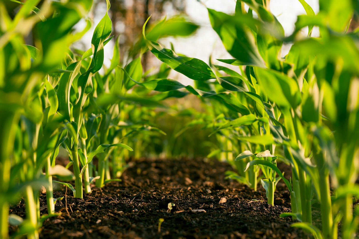
AI prescription map — variable rate zones by treatment need
The Science
THIS ISN'T MARKETING.
IT'S PEER-REVIEWED.
The technology behind AI-assisted drone crop analysis has been validated in published scientific research — not just vendor case studies. The results speak for themselves across vineyards, rangeland, and solar operations.
For vineyard operators, a 2024 study in the MDPI journal Drones demonstrated that combining multispectral AI crop analysis drone technology with deep learning AI achieved 96% accuracy in detecting grapevine disease before symptoms became visible to the human eye — enabling targeted intervention weeks earlier than traditional scouting.
For rangeland operators running drone prescription map SE Arizona programs, peer-reviewed research in Rangeland Ecology & Management confirmed that UAV multispectral AI analysis Cochise County applications can accurately map mesquite distribution and density — the data foundation for our pre-treatment brush mapping service.
For solar operators, a January 2025 study in MDPI Sensors introduced autonomous AI solar panel inspection Arizona workflows from UAV imagery, identifying bird dropping hotspots and dust accumulation patterns that cause hardware damage and measurable output loss.
"96% accuracy detecting grapevine disease before visible symptoms."
MDPI Drones, 2024 — peer-reviewed multispectral AI detection study
"Early detection of powdery mildew in specific plots before spread; targeted intervention enabled rapid treatment."
Pix4D published vineyard case study — multispectral scanning workflow
"UAV-based multispectral data accurately maps mesquite distribution and density across large rangeland acreage."
Rangeland Ecology & Management — peer-reviewed UAV mesquite mapping study
"Autonomous AI soiling detection from UAV-captured imagery identifies bird dropping hotspots and dust accumulation causing output loss."
MDPI Sensors, January 2025 — solar AI inspection study
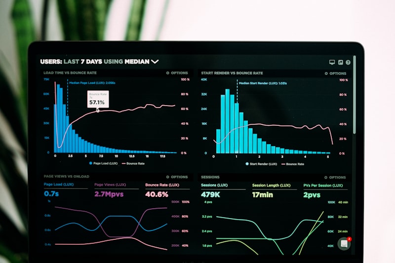
NDVI / false-color field health map output
Who It's For
YOUR OPERATION. OUR ANALYSIS.
Vineyard Owners
Catch powdery mildew pressure before it's visible. Spray only the blocks that need it, at the rate they need it — with a documented record for your season.
Ranchers & Land Managers
Map your mesquite before you treat it. Locate cattle, check water points, detect irrigation failures — all in one thermal and multispectral flight.
Pecan & Pistachio Operators
Reach the canopy layers ground equipment misses. Target fungicide and nutrient passes to the zones actually showing stress.
Solar Operators
Know what's costing you output before you clean it. AI soiling inspection maps your array by severity — clean what matters, skip what doesn't.
For Vineyards
AI mildew prescription mapping and targeted fungicide application for Willcox and Sonoita/Elgin vineyards.
Vineyard ServicesFor Construction & Mining
Multispectral revegetation monitoring and post-treatment verification on reclamation and disturbed ground.
Construction & Mining
Seasonal crop monitoring drone Arizona — field health data across the season
Seasonal Monitoring
ONE FLIGHT IS A SNAPSHOT.
A SEASON IS A STORY.
A single AI scouting flight tells you what your field looks like today. A seasonal monitoring contract tells you how your field is performing — where your inputs are working, where you're losing yield, and where problems are developing before they cost you money.
Falken offers scheduled seasonal monitoring agreements: set a flight cadence at the start of the season, receive an updated AI field health report after every flight, and build a full-season data record that informs every spray, treatment, and management decision you make.
- Vineyard operators: full monsoon-season mildew monitoring, June through September
- Ranch operators: forage health and brush recovery tracking post-treatment
- Solar operators: soiling accumulation pattern tracking with data-driven clean scheduling
Every other drone operator can fly a field
and take pictures.
We scan it, run AI analysis, and spray
a targeted prescription in the same visit —
with documentation of every acre treated.
Ready to See What Your Land Is Telling You?
REQUEST AN AI SCOUTING FLIGHT.
All AI scouting flights and prescription mapping services are quote-based. Tell us your operation, your acreage, and your challenge — we'll respond within one business day.
Request an AI Scouting Flight