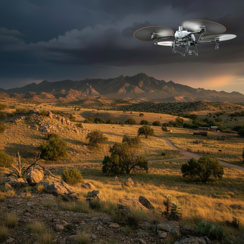
The Primary Platform
THE TALOS T60X
Heavy-lift spray & spread platform. The backbone of every Falken operation — from vineyard fungicide to rangeland reseeding to fire barrier treatment.
132 LB
PAYLOAD
50+
ACRES/HOUR
LIQUID + DRY
CAPABLE
Airframe & Flight
- 132 lb max payload
- Max speed 45 ft/s (~30 mph)
- High-torque motors with 56-inch propellers
- Rapid-swap batteries recharging in ~11 minutes
- Modules swap between spray tank and dry hopper in minutes
Spraying System
- 15.8-gallon (60L) tank with wide-mouth lid (~1-minute refills)
- 7.4 gallons per minute output
- Up to 36-ft spray swath
- High-pressure canopy system drives spray into brush and under leaf surfaces
- Adjustable droplet size from fine mist to heavy wetting
Spreading System (Dry)
- 21-gallon hopper, 132 lbs per load
- Up to 418 lbs per minute discharge
- 10–26 ft variable swath
- Interchangeable augers for fine seed through coarse fertilizer pellets
- Onboard weighing sensor tracks payload and spread quantity
Navigation & Safety
- Terrain-following radar holds application height on slopes
- Tri-camera obstacle avoidance (poles, pivots, trees, powerlines)
- Low-light FPV cameras for full night operations
- Fully autonomous route planning with precise pass repetition
- RTK-precise mapping and boundary detection
Real-World Performance
PRODUCTION RATES
| APPLICATION | RATE |
|---|---|
| Light spray applications (broadacre) | 40–56 acres/hour |
| Vineyard & orchard row work | 15–25 acres/hour |
| Cover crop / reclamation seeding | 25–40 acres/hour |
| Heavy fertilizer / soil amendments | 8–15 acres/hour |
| Fire barrier / dust suppression zones | Quoted per site |
Production rates vary with application rate, terrain, and site logistics.
The Advantage
WHY AERIAL APPLICATION WINS
Night & post-rain operations
Operates at night and immediately after rain — when ground rigs are locked out.
Zero soil compaction
No crop damage, no wheel tracks, no ground disturbance.
Terrain access
Reaches slopes, washes, rock, and terrain trucks and tractors can't touch.
Rapid deployment
One operator, one truck — set up and applying in under an hour.
The Supporting Fleet
BEYOND THE T60X
Mavic 3M
Multispectral Imaging Platform
Five-band multispectral sensor for NDVI crop health mapping at individual-row resolution.
Matrice 4T
Thermal Imaging & Survey Platform
Heavy-lift thermal gimbal for irrigation surveys, livestock location, and night operations.
Blue UAS LiDAR
Government-Compliant Survey Platform
Blue UAS-certified LiDAR aircraft for federal, DOT, and municipal surveying contracts.
Every aircraft we sell includes training — see our Training programs.
READY TO PUT THE T60X TO WORK?
All services are quote-based. Tell us your operation and we'll respond within one business day.
Request a Quote