About Falken Drone Services
THE OPERATOR BEHIND THE DRONE
Not a national chain. Not a chemical company upsell. A working operator with RC aviation roots going back to the 1980s — now flying the most advanced agricultural drone platform available, in the county where he lives.
The Story
Most ag drone operators are sales reps who learned to fly last year.
That's not Falken.
RC aviation since the 1980s means solving aircraft control, weather judgment, and mechanical reliability problems longer than most of this industry has existed. When drone technology matured enough to be genuinely useful in agriculture, I was already there — flying commercially before Part 107 existed, FAA certified in 2017, building real-season experience on Cochise County terrain ever since.
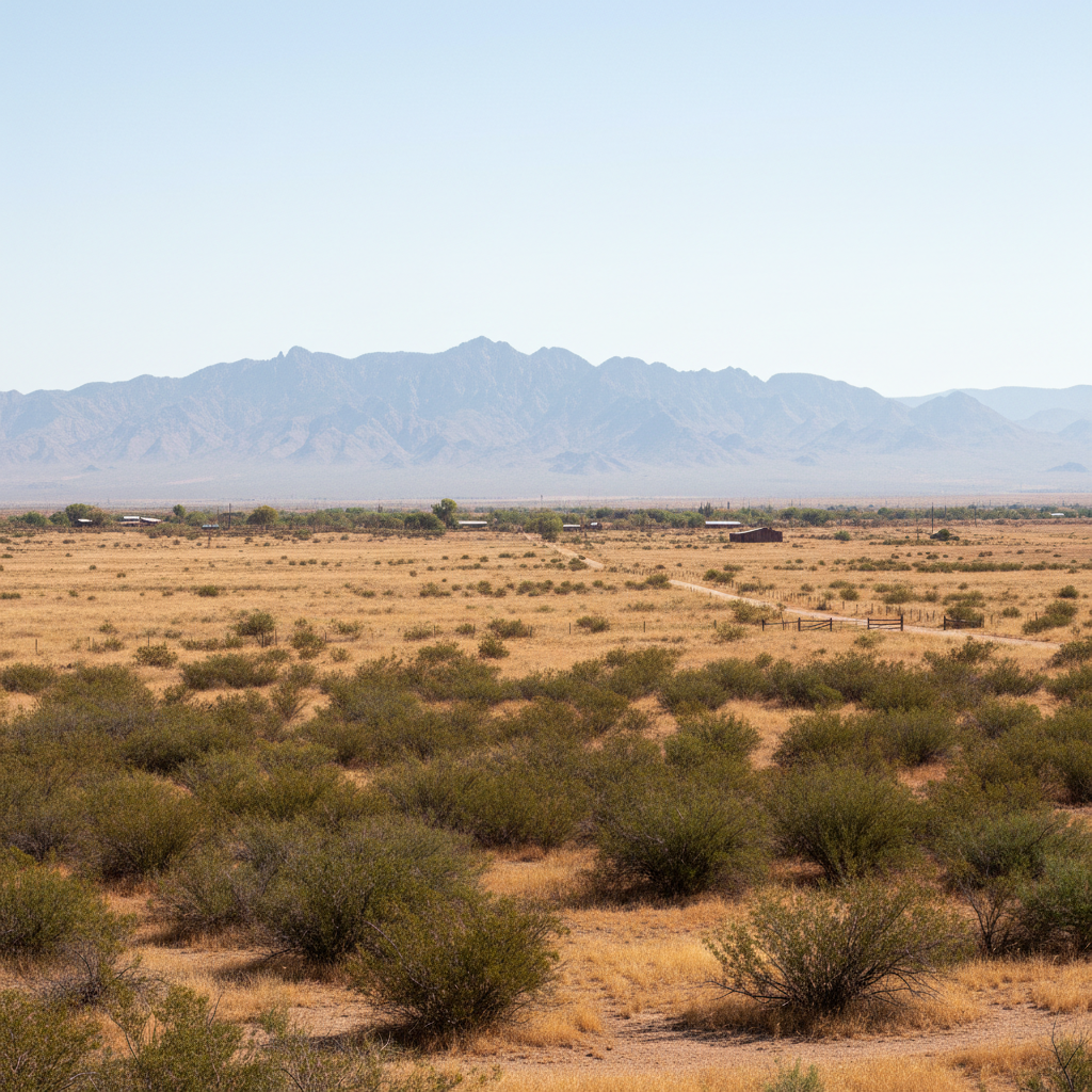
I'm a Hereford NRCD member because I actually care what happens to this land. When I'm applying herbicide on your rangeland or fungicide on your vines, I'm not running a national protocol — I know this land.
You don't have to explain Cochise County to me.
I live here.
Operational Timeline
RC aviation — building and flying fixed-wing and rotary models before GPS, before anyone called it a drone.
Transitioned to modern unmanned systems. Early commercial drone operations before Part 107 existed.
FAA Part 107 Remote Pilot Certificate. First commercial precision-ag contracts in SE Arizona.
Continued precision-ag operations across Cochise County — building seasonal experience on vineyards, rangeland, and orchards.
FAA Part 137 Agricultural Aircraft Operator Exemption — the full ag license. Ready to serve Cochise County growers.
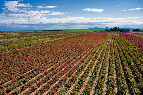
Falken operations — Cochise County, AZ
Credentials
FAA Part 107 Certified
Since 2017
FAA Part 137 Ag Exemption
Since September 2025
Class 3 FAA Medical
Current
Licensed & Insured
Fully Covered
NRCD MEMBER
Hereford Natural Resource Conservation District — member, not just a vendor working the county.
The Fleet
OPERATIONAL ASSETS
Falken Drone Services isn't just a spray operation. We've built an AI-assisted precision workflow that connects multispectral scouting, machine-learning crop analysis, and variable-rate spray prescription into a single service. You get smarter decisions, documented results, and less wasted chemistry — from a local operator who knows your land.
Talos T60X
Spray & Spreading Platform
Primary spray drone. 60-liter payload tank + dry-spreader hopper attachment. Handles vineyard fungicide, rangeland herbicide, orchard applications, and granular spreading.
Mavic 3M
Multispectral Imaging Platform
Five-band multispectral sensor for NDVI crop health mapping. Delivers georeferenced stress maps at individual-row resolution.
Matrice 4T
Thermal Imaging & Survey Platform
Heavy-lift platform with thermal imaging gimbal. Irrigation surveys, livestock location, equipment heat mapping, and night operations.
Also available for commercial aerial photography, ranch and property surveys, orthomosaic mapping, and construction documentation across SE Arizona.
GIVING BACK
Falken Drone Services is a proud supporter of the Fivefold Foundation — a ministry dedicated to community and family restoration, supporting veterans, families, and neighbors in need through housing assistance, community events, and direct outreach. We believe strong communities are built by the people who show up for them.
Visit the Fivefold Foundation